Unparalleled Information for the Future Mariner: The Arrival of S-100

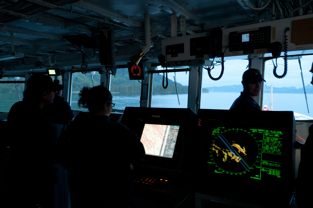
The imminent transition from S-57 to the S-100 Universal Data Model as the underpinning dataset for safety of navigation is potentially one of the most significant developments in the maritime domain in contemporary history. Despite this, many do not appreciate the advantages that S-100 will enable. Whereas S-57 is essentially a digital copy of a paper chart, S-100 is a paradigm shift bringing approximately 30 layers of complex information, including live updates of real-time, near-real-time, or modelled data from a variety of sources. S-100 will enhance safety, efficiency, situational awareness, decision-making and data integration across the entire marine community.
What is S-100?
Almost every nation is a signatory to the International Maritime Organisation (IMO). IMO’s Safety Of Life At Sea (SOLAS) Convention mandates that commercial vessels over certain tonnages must carry Electronic Chart Display and Information Systems (ECDIS). An ECDIS is a SOLAS-approved electronic navigation guidance system with specified functionality that utilises national authority-certified S-57 hydrographic charts. The current S-57 data sets are essentially a digital copy of a paper chart with some added functionality through the ECDIS system. However, in order to future-proof the industry, increase the safety of navigation and maximise the benefit of maritime data to all marine community users, the IMO have stipulated that ECDIS systems must be updated to ingest S-100 data sets commencing January 2026.
The S-100 datasets will include but not be limited to high-resolution gridded bathymetry and enhanced vector chart data; real-time alerts; maritime and harbour infrastructure; Under Keel Clearance Management; seafloor characteristics; tides and water levels; real-time and forecasted wave height, period, and direction, surface currents and sea ice conditions to assist with route optimization, fuel efficiency and safe manoeuvring; maritime boundaries, marine protected areas, regulated areas, IMO-approved routes and environmentally sensitive areas; and parameters like sea surface temperature, salinity, and ocean circulation.
What are the benefits of S-100?
The S-100 has obvious benefits for safety navigation; however, it will also provide significant cost savings to the maritime industry through outcomes such as more efficient route planning, optimised transit based on real-time environmental information and maximisation of cargo loads through a better understanding of under keel clearance. These efficiencies also have direct and positive impacts on environmental considerations, such as reductions in greenhouse gas emissions.
However, it is not only mariners that will benefit. S-100 comprises multiple layers of stored and live data that have direct application to ocean management, streamlining port operations, environmental protection, improvement of marine habitats, sustainability, resilience planning, national infrastructure development, naval and coast guard operations, customs and border control, search and rescue, disaster response, offshore energy activities, environmental research, commercial fishing, aquaculture operations, marine resource planning, maritime law, compliance and much more.
Is S-100 relevant to the Intelligence Community?
S-100 will provide a breadth and depth of interoperable, standardised and collated marine data, allowing analysis and visualisation of numerous data sets, ease of collaboration with partners and commercially provided interoperability at the unclassified level. As can be seen from the list of data types, S-100 includes numerous datasets that have direct military applications. Further, a simple analysis of the data can generate information such as likely traffic routes of high-value vessel targets and how their passage may change due to dynamic weather, currents, ice or extreme weather. More significantly, S-100 data could be utilised to feed the maritime domain awareness plot for any nation. The ease of access, standardisation and interoperability between datasets, and the requirement for all datasets to be approved by an appropriate authority, mean that all nations will have access to high-quality and live-updated data that many would never have had access to before. Although this will not change the balance of power in the maritime domain awareness space, it will raise the baseline for all nations to a new and higher level.
Summary.
S-100 will revolutionise how marine data is accessed and used, turning traditional static charts into dynamic, multi-layered, interactive decision-support and visualisation systems. S-100 should not just be considered a new era for safety of navigation, but a tool of benefit to the entire marine community, allowing improved situational awareness, logistics efficiency, and increased environmental knowledge for management, protection and planning of a nation’s maritime domain and marine resources. It will allow interoperability and collaboration across the entire marine community, including civil and government entities at the local, national, regional and international levels. Finally, it will provide a common standardised baseline of authoritative information to enable interoperability, real-time updates, and multi-layer visualisation for all users interested in maritime domain awareness. Although S-100 may not change the balance of power in the maritime domain awareness space, it will raise the entry level for all.
What do you think? Share your thoughts and join in the discussion around data centricity and literacy in GEOINT at the 22nd annual DGI conference in London from Feb 23-25, 2026.