DGI 2027 Blog
How AI Is Reshaping GEOINT Career Pathways
For decades, the GEOINT profession has relied on a pipeline: bright graduates trained in GIS, remote sensing, and spatial analysis entered entry-level roles where they refined their skills, learned the tradecraft, and progressed into experienced professionals. But artificial intelligence (AI) may be changing this traditional structure.
The Possible Cost of GEOINT Analysts Using LLMs
Since the 1980s spell checkers have evolved to grammar checkers that incorporate AI. Rather than simply comparing words to a dictionary, modern word processing tools can identify misused words even when they are spelled correctly.
GEOINT – let’s look to the Middle East
Geopolitical tensions are rife in the region and impact from without. National Security has been at the forefront of thinking for many years.
Will Unmanned Surface Vehicles Change the Face of Maritime Domain Awareness?
Control of strategic maritime chokepoints and freedom of navigation is vital for national security, economic stability, international trade, and the enforcement of trade sanctions, highlighting the enduring importance of maritime power. Almost every nation is dependent on seaborne trade for their economic survival.
Unparalleled Information for the Future Mariner: The Arrival of S-100

The immanent transition from S-57 to the S-100 Universal Data Model as the underpinning dataset for safety of navigation, is potentially one of the most significant developments in the maritime domain in contemporary history. Despite this, many do not appreciate the advantages that S-100 will enable.
Evolution of Space and Geospatial Intelligence in Japan
As a decades-long geospatial professional, this is my perspective on how the U.S. started GEOINT, nurtured it with NATO, and how Japan is on path to becoming an important member of global GEOINT community.
Mapping Critical Communication Infrastructure on the Seafloor and in Space
Since 2022, there have been at least ten incidents involving underwater cables in the Baltic Sea. Between November and January, additional cables were damaged, disrupting telecommunications links across several Baltic countries. Ships have been detained that may have accidentally cut cables while dragging anchors. Still, the pattern of these events, combined with rising tensions, continues to raise concerns about sabotage (McNamara, 2024).
Improving Attitudes To Taking Risks When Innovating In GEOINT
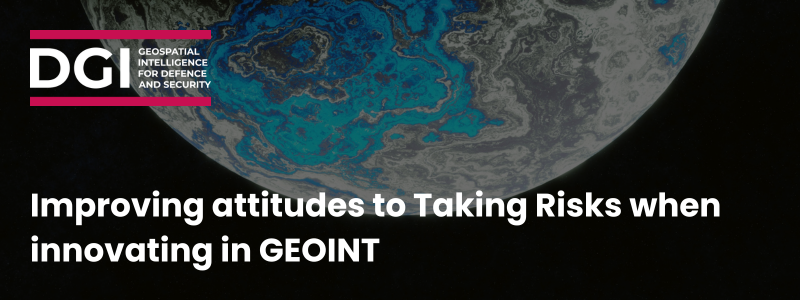
Just as the Earth we are studying is evolving and dynamic, so too are the data and methods we need to use to solve GEOINT’s difficult problems. New data, methods, and technologies are being developed faster than they can be incorporated into curriculum and training programs. This is evidenced by the continuous development of GEOINT data and methods, including internet of things (IOT) data and fast data streams on the data side (Al Jawarneh et al. 2020; Armstrong et al., 2019); and spatio-statistical, GeoAI, and Generative AI methods on the methods side (Gao et al., 2023; Fotheringham et al., 2017).
Partnering on AI Standards in GEOINT
The GEOINT community has increasingly turned to artificial intelligence (AI) to manage the overwhelming volume of spatial data and to enhance analytic capabilities. This "data glut" presents a serious challenge—one that AI technologies are well suited to address, though not without introducing new risks.
Everything Everywhere All the Time: Achieving Persistence with Space-Based ISR
With over 25 years in federal and space operations, I’ve focused on achieving persistent ISR to deliver information advantage—the ultimate goal of intelligence, surveillance, and reconnaissance. While leading Activity-Based Intelligence (ABI) programs at NGA, I advanced multi-domain, multi-INT fusion to achieve persistence. Historically, U.S. ISR dominance stemmed from Cold War space infrastructure and later, air superiority. But in today’s era of strategic competition, contested airspace and cyber threats demand space-based ISR. Persistence—monitoring information at the rate of change—is vital for tracking known threats and uncovering emerging ones, yet true persistence has never been achievable from space alone.
Becoming More Data Literate and More Data Centric in GEOINT
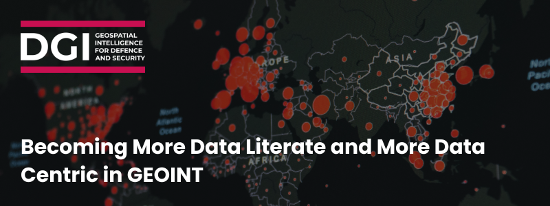
Intelligence analysis, especially Geospatial Intelligence (GEOINT) analysis, has undergone a variety of transformations over the years. These transformations center not just around the use and availability of that data, but also the nature of the analysis environment with which it is conducted.
The Right Tool for the Job: Using Commercial Space for National Security Missions
As someone who has spent nearly a decade interfacing with commercial providers in space, I’ve witnessed exciting developments such as proliferated small satellite imaging constellations and challenges such as integration of broad-area data into existing tools and workflows. A key challenge in the national security geospatial domain is the transition from a national space paradigm to a national-plus-commercial space paradigm to realize New Space effectivities that will increase decision advantage.
AI and the GEOINT Analyst
It is clear that GEOINT analysis is entering a new phase. The National Geospatial-Intelligence Agency is now using AI so regularly that it has adopted a standard label for AI-generated intelligence: “machine-generated GEOINT” (Freedberg, 2025). What does this mean for the analyst?
DGI 2025 Preview

This year's DGI event promises to be a pivotal gathering for the GEOINT community, bringing together leading experts, innovators, and practitioners to explore the latest advancements and discuss the future of the field. So, as we gear up for DGI 2025, here's what to expect:
‘Extraterrestrial’ Intelligence

AI, including generative AI, is revolutionising the $1.8 trillion space economy by advancing satellite design, mission planning, data analysis, and space traffic management. It drives innovation in areas like Earth observation and space-based solar power but poses risks like automation errors, biases, and ethical concerns, requiring balanced and equitable integration.
Bromance in Space

As we awake from the election hangover in Superpower #1, the world order is looking rather different than it did just one month ago. Now, the shift may have a greater impact on the SPACE order than perhaps we might have ever anticipated given Elon Musk’s explicit ties to, and now formal role with, the next U.S president, Donald Trump.
Where GenAI, New Critical Infrastructure Risk, and Space-Based Innovations Converge

As GenAI advances, the role of data centers has expanded exponentially, making them essential for economic and national security. However, the rising energy demands associated with these data hubs pose significant risks to both national security and sovereign competitiveness. A compelling new solution is emerging—space-based data centers (SBDC)—which could address these energy challenges sooner than expected.
GEOINT and Space Situational Awareness (SSA): Part 2 – Do the Cultures Align?

This is Part 2 of the articles surrounding GEOINT and Space Situational Awareness. In Part 1, it was concluded that applying GEOINT concepts to Space Situational Awareness (SSA) in Low Earth Orbit (LEO) is feasible and is GEOINT’s next frontier. This blog specifically explores the discussion of whether GEOINT's culture aligns with SSA and Space Traffic Management (STM).
The Emerging “New GEOINT”

There has been a seismic shift in the technological and doctrinal concepts underlying GEOINT’s foundation of imagery, IMINT, and geospatial information, sparked by the Russo-Ukrainian War. This blog predicts that a 'New GEOINT' will emerge, bringing major changes. The key question is not if, but what those changes will be and how we’ll address them.
The Future of GEOINT Education, Training, and Tradecraft in the Age of AI

AI is transforming GEOINT. This blog explores the urgent need for a collaborative approach to GEOINT education, training, and tradecraft among Western Allies. By establishing an international learning ecosystem, we can harness the power of AI to develop the skills and competencies necessary to thrive in the complex geopolitical landscape of the future.
GEOINT and Space Situational Awareness (SSA): Part 1 – The Next Frontier?

The application of GEOINT to Space Situational Awareness (SSA) already explores concepts such as "key terrain," "patterns of life," and "camouflage detection" to analyse space itself. This is the first of two articles on GEOINT and SSA, and while the feasibility of these applications remains uncertain, this blog aims to discuss applying GEOINT methods to SSA, primarily in the outer space termed Low Earth Orbit (LEO).

GEOINT In a Knowledge-Centric Battlespace

Discover why knowledge-centric thinking should be the objective in the 2020s for the GEOINT community, and how it can be achieved. The more we rely on automation, AI, ML to support decision making the more we also have to provide a measure of assurance.
The Right To Precision

Precision improves the prospects of military success and, certainly in NATO eyes, reduces the risk to the innocent. This blog explores the importance of precision within geospatial intelligence, and what this mean to the DGI community.
Ukraine, Partnerships and GEOINT – DGI 2023 Could Not Be More Relevant

During the full-scale invasion of Ukraine, intelligence from USA and UK has been crucial in publishing information such as maps of Russia dispositions. GEOINT plays a part in this intelligence. Discover how DGI 2023 covers todays most relevant topics, including GEOINT alliances, communities and partnerships.
Improving Your Geospatial-Intelligence Strategy to Increase Speed and Reliability

Geospatial intelligence agencies are optimising their intelligence strategy to enhance speed and reliability. From cutting-edge tech innovations in drones and 3D mapping, to digital twin technology and collaborations. Discover the latest in GEO-INT technology to revolutionise the sector.
Prioritising Space Situational Awareness in Your Geo-Spatial Intelligence Strategy

The space situational awareness market is set to grow to 1.73 billion USD by 2028. As a result, geospatial intelligence agencies are prioritising SSA as part of their strategy. Discover where SSA technology is headed, from object identification to early warning capabilities.
Strengthening Geospatial-Intelligence Partnerships During the Russia-Ukraine War

As the Russia-Ukraine war continues, exciting GEO-INT partnerships have been formed to aid international allies. Unprecedented access to real-time data such as satellite imagery is uncovering Russian military operations and disinformation efforts. This a great case study for the vital role international collaborations can have as the Russia-Ukraine war rages on.
Conversation with John Kedar, Geospatial Strategy Advisor, at DGI 2021
In Conversation with John Kedar, Geospatial Strategy Advisor, before he interviews world-renowned geospatial expert Vanessa Lawrence at DGI 2021. Interview conducted by the DGI Editorial Director.
Q&A with John Kedar, Fr. Director of International Engagement
John Kedar served a career in the UK armed forces,. He has subsequently worked for six years as Ordnance Survey’s Director of International Engagement, during which time he helped grow Ordnance Survey’s global reputation and steer the development of the United Nations Integrated Geospatial Information Framework