The speaker Lt Colonel Travis J Kelley was part of the previous event. To review the most recent speakers list, click here.
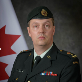
Lt Colonel Travis J Kelley
Commanding Officer, Mapping and Charting Establishment Canadian Armed ForcesLieutenant-Colonel Travis Kelley has worked for the Royal Canadian Engineers since 2004 in the Reserve and Regular Forces. He is a Combat Engineer Officer with a specialty in Geomatics. Currently the Commanding Officer of Canada’s military mapping agency, The Mapping and Charting Establishment; he has also commanded Canada’s School of Military Mapping. LCol Kelley has deployed to Afghanistan supporting ISAF and to Haiti supporting MINUSTAH. LCol Kelley has a Batchelor of Systems Design Engineering, a Masters’ of Geospatial-Intelligence, and a Masters’ of Defence Studies. He is excited to be back in the UK for proper Fish and Chips (and some other things).
Check out the incredible speaker line-up to see who will be joining Travis J.
Download The Latest Agenda