DGI 2026
23 - 25 February 2026
Queen Elizabeth II Centre, London

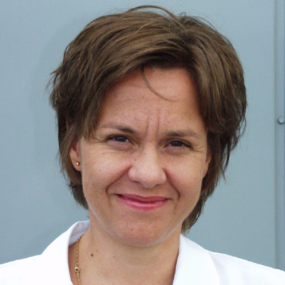
Dr. Marlene Meyer
National Geospatial Officer Joint GEOMETOC Support Centre, Danish DefenceDay 3 | 25th February 2026
3:00 PM Fireside Chat: Leveraging New Seafloor Mapping Innovations to Detect Undersea Threats Earlier and More Accurately
- Map the Unknown: How to use advanced bathymetry to uncover vulnerabilities around critical subsea infrastructure.
- Detect Threats Sooner: How to identify unusual activity near cables and pipelines using high-resolution mapping data.
- Improve Monitoring Precision: How to integrate seafloor data with ISR to track threats with greater confidence and accuracy.
- Enable Rapid Response: How to support faster intervention by delivering detailed subsea awareness to maritime security teams.
Check out the incredible speaker line-up to see who will be joining Marlene.
Download The Latest Agenda